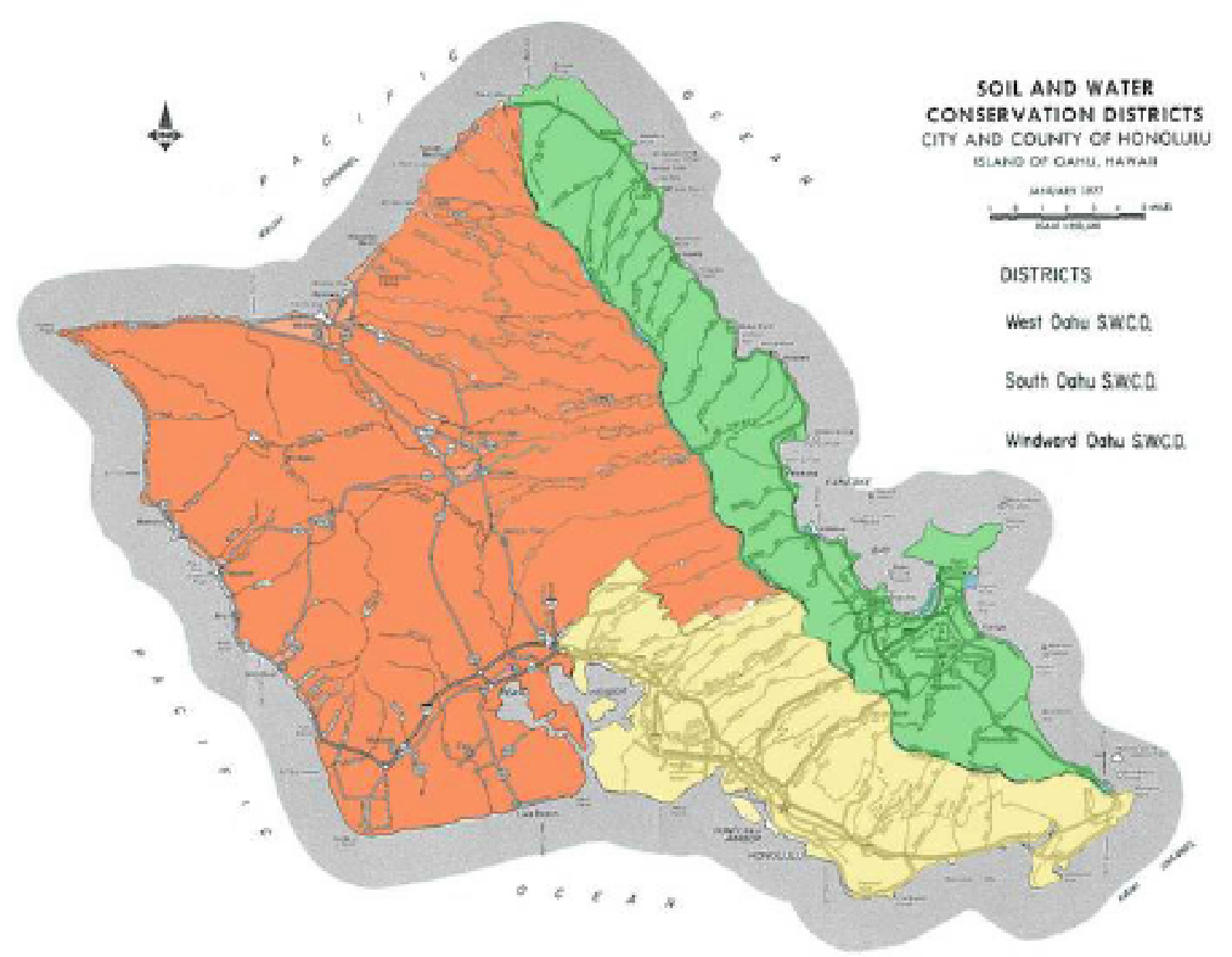
South District
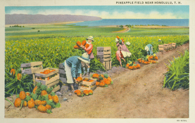
Abundant rain, numerous streams, springs and pools and lowlands of the south have generous access to frequent water. It is thought that, two important wetland taro plantings are what brought the name of Moanalua (broad expanse of land from two), which commonly fed royalty, along with yams, wauke, olona, breadfruit, and banana. Historically, this area was also ideal for fishponds and salted shores. (Handy and Handy, 1971)
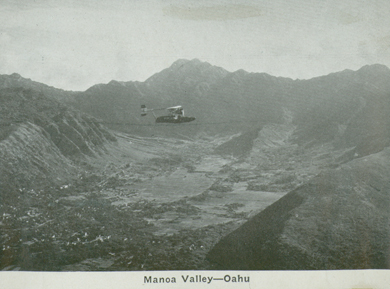
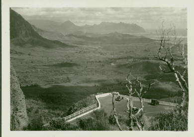
Manoa valley: ca 1935-- UH library "aloha hawaii scrapbook"
The area now known as Round Top was formerly referred to as, ‘Ualaka’a (rolling sweet potato), was revived as a site famous for sweet potato plantations by Kamehameha, where it is believe that the whole hillside was planted. (Handy and Handy, 1971)
The upper valley of Manoa was terraced and in agricultural use until around 1931, when most of it was abandoned and covered in grass. Some taro terraces remained, and were believed to have also existed in the area known as Punahou. Extensive wetland cultivation around what is now Kalakaua Avenue and Kapiolani Park. These lo’I were irrigated by the Manoa and Palolo streams, and were thought to have originated from Kalamaakua, who was known for his skill in farming. It is also believed that, Kapa’akea, one of the chiefs, had put prisoners to work on the Wikiki lo’i of Keokea. This area was also thought to contain many fishponds, both artificial and natural, extending to up to a mile inland. (Handy and Handy, 1971)
Post card: ca 1935-- UH library "aloha hawaii scrapbook"

CA 1900- uh library "hawaiian photo album"

Aloha Tower: ca 1935-- UH Library " Aloha Hawaii Scrapbook"
A unique low pass in the Nu’uanu Pali provides easy access to the windward coast makes Nu’uanu more rich in lore and history than in agricultural products. This area is thought to be the settled home of Mo’oinaneas people, or the Mo’o, who guarded the numerous natural pools and ponds. Traces of ancient terraces have been discovered, and are thought to have hosted taro watered by ditches, and more recently, dairy. Around 1894-1863, Queen Emma had a plantation of wetland taro above her summer home near what is now Puiwa street. This area is also thought to have produced sweet potato. Taro plantations also covered what is now Pauoa, between Pacific Heights and Tantalus. (Handy and Handy, 1971)
Nuuanu-Pali: ca 1935-- UH library 'aloha hawaii scrapbook'
On the boundary of Palolo, the Wai’alae area provided taro and sweet potato. The Niu Valley however, yielded far less taro, as a result of porous and marshy ground. Instead, yams and sweet potato are thought to have been the staple for that area. The following valleys mark the end of the kona coast, and are generally arid. (Handy and Handy, 1971)
The first federal agricultural research station in Hawaii was built in the early 1900’s in a tract called Kewalo-uka, consisting of 154 acres with elevations from 125 ft to 1,359 ft. The area extended around the eastern slope of Punchbowl and the southern slopes of Tantalus ridge. Unlike the Hawaii Sugar Planters Association’s research station, this station was built to focus on crops such as coffee, rice, forage crops, vegetables, fruits, dairy, stock, and forestry. At this time, coffee was indeed an important agricultural commodity, with 2,600,000 pounds of coffee exported in 1901. (Krauss, 2003)
Early publications and research included chickens, taro, potato, coffee, fruits, cotton, castor bean, manioc, and cattle grazing. By 1913, six cooperative associations of farmers were set up to promote crop marketing, farm product marketing and promote locally grown products. In addition, federal experiment stations located in Hawaii had expanded to many of the outer islands. By 1929, the federal experiment stations and extension work in Hawaii had been put under the control of the University of Hawaii system, where it remains today. (Krauss, 2003)

Waikiki: Ca 1900-- uh library "hawaiian photo album"
Thank you to the UH Library for hosting these wonderful historic photos used for our "SWCD History" section.
More information about the UH Library Historic Photo Collections can be found here: